

 Nederlands
  Español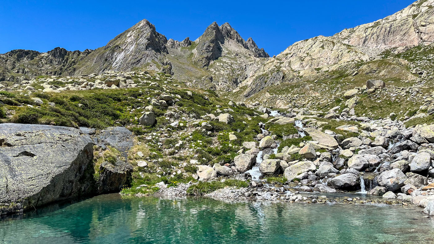
Chill-Outdoor organises active holidays in the Pyrenees – an amazing mountain range on the border between France and Spain. Jochum and Judith moved here 15 years ago, and I (Lara) have been living here for 7 years now. I can safely say that all three of us are passionate about this mountain region. But what are we actually talking about? And what makes this place so special?

The rugged heart between Spain and France
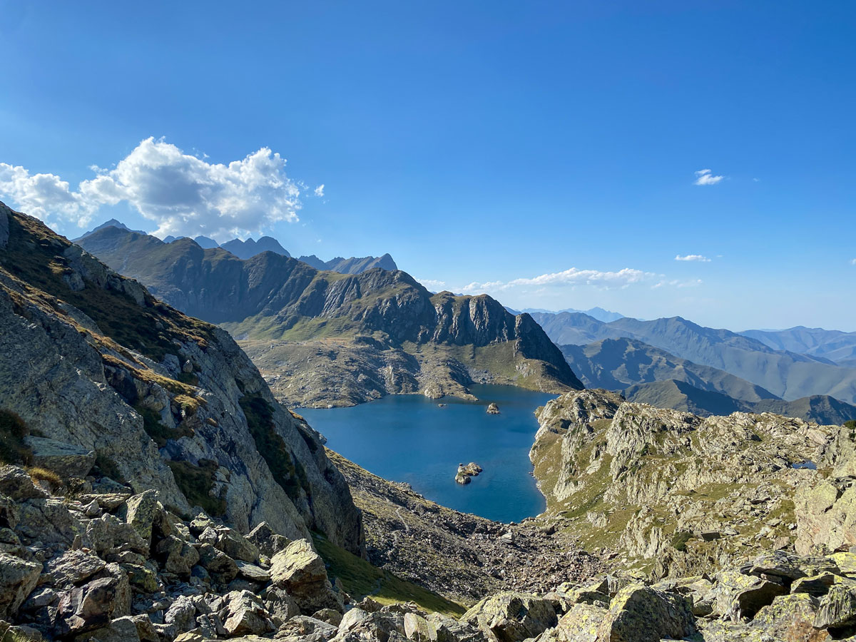
The Pyrenees form a mountain range that separates Spain and France. This range stretches from the Atlantic Ocean to the Mediterranean Sea. Over a length of about 430 kilometers and a width of up to 150 kilometers, they form a natural border area.
Before we dive into everything this mountain region has to offer, let’s take a step back. Or well… a “step”? Let’s call it an innumerable number of steps!
How were the Pyrenees formed?
It all relates to the “Alpine Orogeny,” the geological period when Europe’s and Asia’s major mountain ranges took shape. The collision of the Iberian Plate with the Eurasian Plate pushed, folded, and eventually raised the Earth’s crust, creating the mountain range we now know as the Pyrenees.
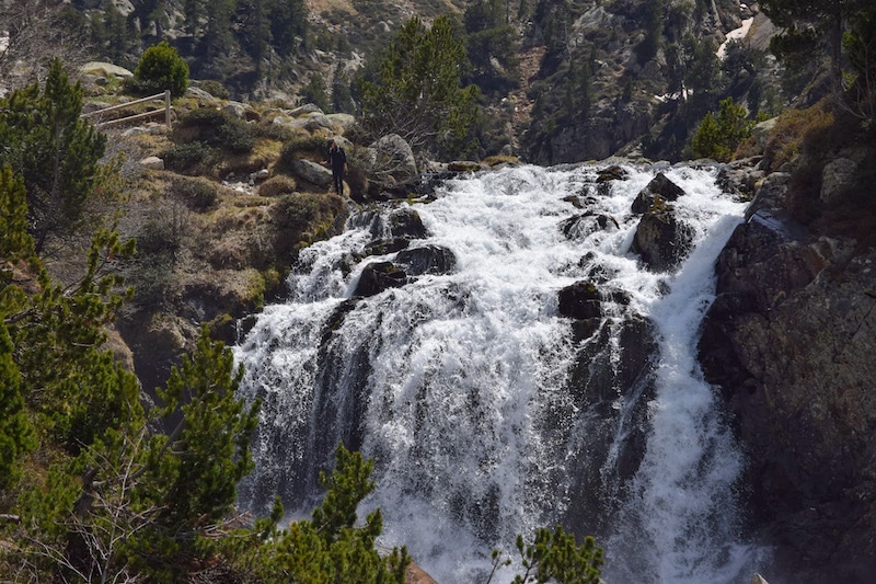
Erosion gradually wore down the peaks and carved out valleys. Later, during the ice ages, glaciers covered the mountains, sculpting U-shaped valleys and forming glacial lakes. The result is the current mountainous landscape of the Pyrenees.
The process of the Alpine orogeny is still active, although it proceeds very slowly (read: only fractions of a millimeter per year). At the same time, rivers, wind, and frost slowly wear away the rock. This continuous movement between uplift and erosion shapes the landscape, but so gradually that the changes are imperceptible to the human eye.
The highest peak of the Pyrenees
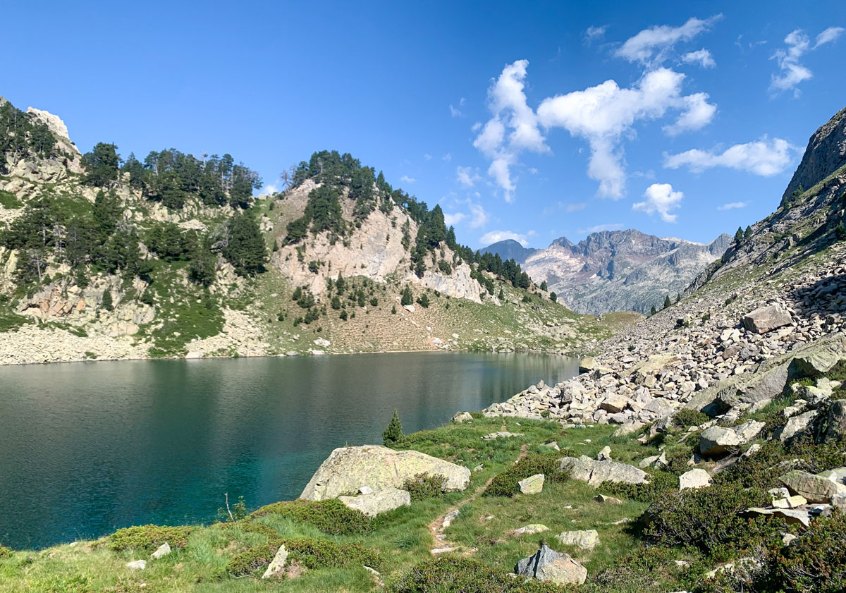
The highest peak in the Pyrenees is Aneto, at 3,404 meters. It is located in the Maladeta massif, which is part of the Posets-Maladeta National Park in Huesca province (Aragón).
On the northern slope of Aneto lies the Aneto Glacier. Due to global warming, the glacier has shrunk dramatically over the past century — from around 300 hectares in the 19th century to less than 50 hectares today. If the current rate of melting continues, the Aneto Glacier could disappear entirely within 20 years… An extra reason to visit these natural wonders now?
Other well-known high peaks include Posets (3,375 m), Monte Perdido (3,355 m), and Vignemale (3,298 m) on the French side.
These giants of the Pyrenees are all located in the central part, where the landscape is the most rugged. The further west or east you go, the lower the mountains become. The peaks and mountain passes not only mark natural boundaries but also tell a story of exploration, science, and adventure.
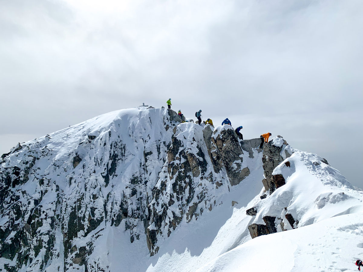
First ascent of the Aneto peak
Did you know that people first believed Monte Perdido was the highest peak of the Pyrenees? It was in 1817 when Henri Reboul, based on mathematical calculations, determined that it was the “Néthou” (Aneto), and not Monte Perdido as previously thought. The news marked the beginning of a new race to conquer the roof of the Pyrenees.
From 1820 onwards, various attempts followed over the years, with more or less success depending on the chosen routes. But no one managed to reach the summit.
The first recorded ascent took place in 1842 by Platon de Tchihatcheff, a Russian officer, together with a group consisting of botanist Albert de Franqueville, two guides (Pierre Sanio and Jean Sors), and two hunters (Bernard Arrazau and Pierre Redonnet).
Since then, the mountain has become a popular but respectful challenge for mountaineers. The route crosses snowfields and the glacier, ending with the narrow ridge “Puente de Mahoma,” which is sure to make your heart race with every step. Therefore, the ascent is often done under the guidance of local mountain guides.
In short
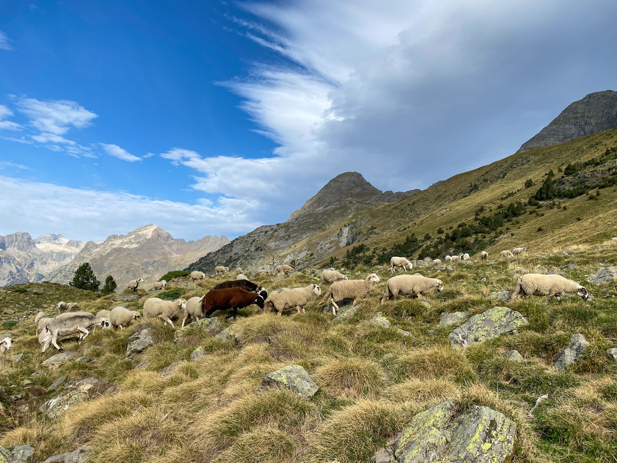
The Pyrenees are much more than just a border between Spain and France. It is a landscape that carries millions of years of geological history, glaciers, and erosion. High peaks, deep valleys, and rugged mountain passes alternate here.
In this first blog, we mainly looked at the landscape, the highest peaks, and its first ascent. In the next blog, we will explore the different regions of the Pyrenees and their unique culture, history, and traditions. This will give you a sense of why these mountains have continued to inspire mountaineers, adventurers, and nature lovers for centuries.
Do you want to spend your next vacation in the Pyrenees?
Explore our travel offers on the website and find the trip that suits you best. If you have any questions, feel free to contact us, we are happy to give you personal advice.